Bar nearby The Lobster Pot
Coronavirus disease (COVID-19) Situation
confirmed cases
1734582
deaths
9491
Ireland
Bar nearby The Lobster Pot
The Lobster Pot
Ballyfane, Carne, IE Irland
contacts phone
:
+353 53 913 1110
website:
www.lobsterpotwexford.com
Latitude:
52.198664
, Longitude:
-6.374237
larger map & directions
read more
nearest Bar
1.342 km
The Island Bar
Eardownes Great, Wexford
Bar
read more
2.149 km
Butlers St. Ivers
Broadway
Bar
read more
4.968 km
Kilrane Inn
Rosslare Harbour
Bar
read more
4.972 km
The Kilrane Inn
E30, Churchtown
Bar
read more
4.975 km
Culletons Bar
E30, Churchtown
Bar
read more
6.154 km
Railway Social Club
Ballygillane Big
Bar
read more
7.801 km
Redmond's "The Bay" Pub
Rosetown
Bar
read more
8.244 km
Hideout
Tomhaggard
Bar
read more
8.255 km
The Hideout
Tomhaggard
Bar
read more
8.294 km
Tides Gastro Pub
Station Road, Doogans Warren
Bar
read more
8.496 km
Merry Elf
Fernyhill
Bar
read more
8.823 km
The Back Of The Shop
Strand Road
Bar
read more
9.156 km
The Halfway House Tomhagurty
Ballycogley
Bar
read more
11.97 km
Mary Barry's Bar
Kilmore
Bar
read more
12.689 km
Bridie's Bar
2-6 Plasán, Bridgetown North, Bridgetown
Bar
read more
12.72 km
The Bargy Bar
Unnamed Road, Bridgetown North
Bar
read more
14.731 km
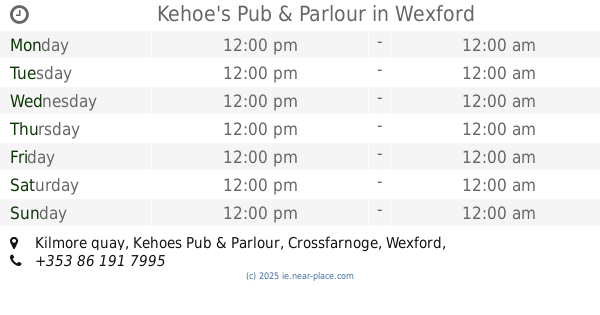
Kehoe's Pub & Parlour
Kilmore quay, Kehoes Pub & Parlour, Wexford
Bar
read more
14.855 km
The Wheelhouse Bar
Beckville
Bar
read more
15.433 km
The Sailing Cot
the, 182 The Faythe
Bar
read more
15.86 km
Sinnott's Bar
Distillery Road, Wexford
Bar
read more
15.94 km
Billy Kelly
The Faythe, Cromwellsfort, Wexford
Bar
read more
15.967 km
Brownes pub
Slippery Green, Wexford
Bar
read more
16.1 km
Culletons
48 Kennedy Park, Newtown, Wexford
Bar
read more
16.617 km
Mountain Bar
R733, Mullanour
Bar
read more
17.91 km
Breen’s of The Dirr
Durra Little
Bar
read more
📑
all categories
Accounting
Administrative area level 1
Administrative area level 2
Airport
Amusement park
Aquarium
Art gallery
Atm
Bakery
Bank
Bar
Beauty salon
Bicycle store
Book store
Bowling alley
Bus station
Cafe
Campground
Car dealer
Car rental
Car repair
Car wash
Casino
Cemetery
Church
City hall
Clothing store
Colloquial area
Convenience store
Country
Courthouse
Dentist
Department store
Doctor
Electrician
Electronics store
Embassy
Establishment
Finance
Fire station
Florist
Food
Funeral home
Furniture store
Gas station
General contractor
Grocery or supermarket
Gym
Hair care
Hardware store
Health
Hindu Temple
Home goods store
Hospital
Insurance agency
Jewelry store
Laundry
Lawyer
Library
Light rail station
Liquor store
Local government office
Locality
Locksmith
Lodging
Meal delivery
Meal takeaway
Mosque
Movie rental
Movie theater
Moving company
Museum
Natural feature
Neighborhood
Night club
Painter
Park
Parking
Pet store
Pharmacy
Physiotherapist
Place of worship
Plumber
Point of interest
Police
Political
Post office
Premise
Real estate agency
Restaurant
Roofing contractor
Route
Rv park, camping
School
Shoe store
Shopping mall
Spa
Stadium
Storage
Store
Sublocality
Subpremise
Supermarket
Synagogue
Taxi stand
Train station
Transit station
Travel agency
University
Veterinary care
Zoo
sublocality level 1
↑