Place of worship nearby St. Mochua Monastery (ruins)
Coronavirus disease (COVID-19) Situation
confirmed cases
1734582
deaths
9491
Ireland
Place of worship nearby St. Mochua Monastery (ruins)
St. Mochua Monastery (ruins)
Timahoe, Co. Laois, Ireland
contacts phone
:
+353
Latitude:
52.9610951
, Longitude:
-7.2023223
larger map & directions
read more
nearest Place of worship
8.087 km
St. Brigid's Church
Ballintubbert
Place of worship
read more
8.359 km
Recycling Solutions Ltd Ballymacken Portlaoise
Ballymackan
Place of worship
read more
11.223 km
Heath Church
The Heath
Place of worship
read more
14.213 km
Johns Fort on Corner
6 Fortbarrington Road, Bray Lower, Athy
Place of worship
read more
14.233 km
Snap On
Gurteen
Place of worship
read more
15.183 km
Kingdom Life Church
Stanhope Place, Athy
Place of worship
read more
16.921 km
Rathdaire Church
Ballyadding
Place of worship
read more
20.429 km
The Grotto
Rossmore
Place of worship
read more
22.336 km
Annies Bar
tubberoe
Place of worship
read more
32.914 km
The Seven Blessed Wells of Killiegh
Ballinvally, Ballinasragh
Place of worship
read more
34.276 km
St John the Evangelist, Kilkenny
Dublin Road, Kilkenny
Place of worship
read more
40.452 km
Marian Shrine
53.253535, -7.562933
Place of worship
read more
42.416 km
Convent of Mercy
53.176644, -7.726213
Place of worship
read more
42.508 km
Church of the Nativity of the blessed virgin mary
Frankford
Place of worship
read more
42.815 km
Tullaherin Graveyard
Saint Kieran's Church
Place of worship
read more
43.349 km
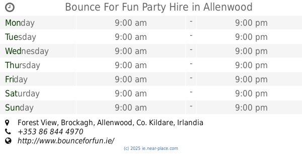
Bounce For Fun Party Hire
Forest View, Allenwood
Place of worship
read more
43.7 km
Mount St Joseph Abbey
Roscrea
Place of worship
read more
45.84 km
St. Colmcille's Well
53.327271, -7.518272
Place of worship
read more
45.909 km
Dunabbey
Abbey Road, Naas
Place of worship
read more
52.13 km
The Home of Hurling
18-, 28 Childers Park, Thurles
Place of worship
read more
54.31 km
Saint Peter's Church
Moycarky, Thurles
Place of worship
read more
55.182 km
Oughterard cemetary
Unnamed Rd, Co., Kildare
Place of worship
read more
57.516 km
Killanne graveyard
Milltown
Place of worship
read more
62.586 km
Family Of Adoration Convent, Ferns
Upper, Ferns
Place of worship
read more
65.193 km
Shno Den
74-, 75 Airlie Heights, Lucan
Place of worship
read more
📑
all categories
Accounting
Administrative area level 1
Administrative area level 2
Airport
Amusement park
Aquarium
Art gallery
Atm
Bakery
Bank
Bar
Beauty salon
Bicycle store
Book store
Bowling alley
Bus station
Cafe
Campground
Car dealer
Car rental
Car repair
Car wash
Casino
Cemetery
Church
City hall
Clothing store
Colloquial area
Convenience store
Country
Courthouse
Dentist
Department store
Doctor
Electrician
Electronics store
Embassy
Establishment
Finance
Fire station
Florist
Food
Funeral home
Furniture store
Gas station
General contractor
Grocery or supermarket
Gym
Hair care
Hardware store
Health
Hindu Temple
Home goods store
Hospital
Insurance agency
Jewelry store
Laundry
Lawyer
Library
Light rail station
Liquor store
Local government office
Locality
Locksmith
Lodging
Meal delivery
Meal takeaway
Mosque
Movie rental
Movie theater
Moving company
Museum
Natural feature
Neighborhood
Night club
Painter
Park
Parking
Pet store
Pharmacy
Physiotherapist
Place of worship
Plumber
Point of interest
Police
Political
Post office
Premise
Real estate agency
Restaurant
Roofing contractor
Route
Rv park, camping
School
Shoe store
Shopping mall
Spa
Stadium
Storage
Store
Sublocality
Subpremise
Supermarket
Synagogue
Taxi stand
Train station
Transit station
Travel agency
University
Veterinary care
Zoo
sublocality level 1
↑