Bar nearby Searsons
Ireland
Bar nearby Searsons
Searsons
42-44, Baggot Street Upper, D04 V210, Dublin 4, IE Ireland
contacts phone
:
+353 1 660 0330
website:
www.searsonsbar.ie
Latitude:
53.3332656
, Longitude:
-6.2429676
larger map & directions
read more
nearest Bar
62 m
Saba
22 Baggot Street Upper, Dublin 4
Bar
read more
123 m
Dylan Hotel Dublin
Eastmoreland Place, Dublin
Bar
read more
159 m
The Irish House Party
The Den Bar, Lansdowne Hotel, 27 Pembroke Gardens, Dublin 4
Bar
read more
163 m
The Irish House Party
The Lansdowne Hotel, 27 Pembroke Road, Dublin 4
Bar
read more
170 m
Smyths Pub
10 Haddington Road, Dublin 4
Bar
read more
605 m
The Dubliner pub
14-24 Lansdowne Road, Dublin 4
Bar
read more
628 m
The Leeson Lounge
148 Leeson Street Upper, Dublin
Bar
read more
721 m
The Chophouse
2 Shelbourne Road, Dublin 4
Bar
read more
752 m
The Stone Leaf
67 Leeson Street Lower, Dublin 2
Bar
read more
802 m
McGrattans Café Bar
76 Fitzwilliam Lane, Dublin
Bar
read more
819 m
House Dublin
27 Leeson Street Lower, Dublin 2
Bar
read more
853 m
The Bath Pub
26 Bath Avenue, Dublin 4
Bar
read more
896 m
Herbert Park Hotel
4 DO4 R2T2, Ballsbridge
Bar
read more
897 m
ely wine bar
22 Ely Place, Dublin 2
Bar
read more
911 m
Foley's Bar
1 Merrion Row, Dublin 2
Bar
read more
957 m
Mary Mac's
12 Merrion Road, Dublin 4
Bar
read more
966 m
Paddy Cullen's Pub
14 Merrion Road, Dublin 4
Bar
read more
976 m
Taco Taco at East Side Tavern
104 Leeson Street Lower, Dublin 2
Bar
read more
981 m
kitchen 105
104-105 Leeson Street Lower, Dublin 2
Bar
read more
986 m
Lemuel's
Earlsfort Terrace, Dublin 2
Bar
read more
996 m
McCloskey's
83 Morehampton Road, Dublin 4
Bar
read more
1.045 km
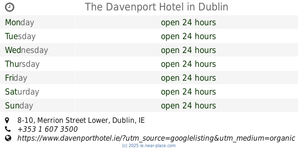
The Davenport Hotel
8-10 Merrion Street Lower, Dublin
Cafe
Bar
Lodging
Restaurant
Food
Point of interest
Establishment
read more
1.045 km
O'Callaghan Davenport Hotel
8-10 Merrion Street Lower, Dublin
Bar
read more
1.089 km
Centurian Bar
80 Merrion Road, Dublin
Bar
read more
1.224 km
Laighin out supporters bar
4 Simmonscourt Road, Dublin Southside, Dublin
Bar
read more
📑
all categories
Accounting
Administrative area level 1
Administrative area level 2
Airport
Amusement park
Aquarium
Art gallery
Atm
Bakery
Bank
Bar
Beauty salon
Bicycle store
Book store
Bowling alley
Bus station
Cafe
Campground
Car dealer
Car rental
Car repair
Car wash
Casino
Cemetery
Church
City hall
Clothing store
Colloquial area
Convenience store
Country
Courthouse
Dentist
Department store
Doctor
Electrician
Electronics store
Embassy
Establishment
Finance
Fire station
Florist
Food
Funeral home
Furniture store
Gas station
General contractor
Grocery or supermarket
Gym
Hair care
Hardware store
Health
Hindu Temple
Home goods store
Hospital
Insurance agency
Jewelry store
Laundry
Lawyer
Library
Light rail station
Liquor store
Local government office
Locality
Locksmith
Lodging
Meal delivery
Meal takeaway
Mosque
Movie rental
Movie theater
Moving company
Museum
Natural feature
Neighborhood
Night club
Painter
Park
Parking
Pet store
Pharmacy
Physiotherapist
Place of worship
Plumber
Point of interest
Police
Political
Post office
Premise
Real estate agency
Restaurant
Roofing contractor
Route
Rv park, camping
School
Shoe store
Shopping mall
Spa
Stadium
Storage
Store
Sublocality
Subpremise
Supermarket
Synagogue
Taxi stand
Train station
Transit station
Travel agency
University
Veterinary care
Zoo
sublocality level 1
↑