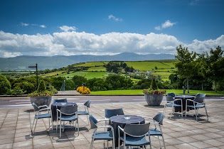
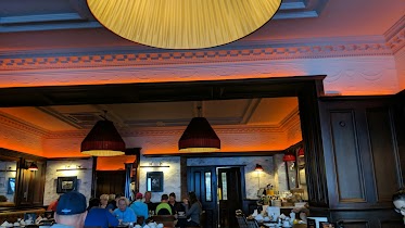
Bar nearby The Oyster Tavern
Ireland
Bar nearby The Oyster Tavern
The Oyster Tavern
Spa Road, Tralee, IE Irlandia
contacts phone
:
+353 66 713 6102
website:
www.theoystertavern.ie
Latitude:
52.276129
, Longitude:
-9.780538
larger map & directions
read more
nearest Bar
2.933 km
The Tankard bar and restaurant
Ireland
Bar
read more
2.933 km
The Tankard bar and restaurant
Kilfenora, Tralee
Bar
read more
3.037 km
Ballyroe Heights Hotel
Ballyroe, Tralee
Bar
read more
3.773 km
Skelper Quane's
Main Street, Ballyvelly
Bar
read more
4.8 km
Bettys Bar
101 Strand Street, Tralee
Bar
read more
4.806 km
The Huddle
Strand Street, Tralee
Bar
read more
4.819 km
The huddle bar
102 Strand Street, Tralee
Bar
read more
4.893 km
ClubHeadBangBang
Pembroke Street, Tralee
Bar
read more
4.903 km
The Greyhound Bar
Pembroke Street, Tralee
Bar
read more
4.966 km
The Corner House,
V92 X971, 105 Rock Street, Balloonagh, Tralee
Bar
read more
4.966 km
Joes Place
2 Pembroke Street, Tralee
Bar
read more
4.972 km
Kirbys Brogue Inn
Rock Street, Tralee
Bar
read more
4.986 km
An Shebeen
7 Rock Street, Balloonagh, Tralee
Bar
read more
4.987 km
Sean Ogs Bar & B&B
41 Bridge Street, Tralee
Bar
read more
4.99 km
Sean Og's
41 Bridge Street, Tralee
Bar
read more
4.994 km
Rock Inn
11 Rock Street, Tralee
Bar
read more
4.999 km
The Castle Bar
77 Rock Street, Tralee
Bar
read more
5.01 km
The Abbey Inn
Bridge Street, Tralee
Bar
read more
5.065 km
The Square
Dominick Street, Tralee
Bar
read more
5.067 km
An Cearnóg bar
7 Dominick Street, Tralee
Bar
read more
5.198 km
The Grand Hotel
Denny Street, Tralee
Bar
read more
5.934 km
Ardfert Golf Club
Unnamed Road, Barrow, Co.
Bar
read more
10.759 km
The Gatt Cave - LoD Clubhouse
County Kerry
Bar
read more
13.407 km
Herberts Bar and Village Store
Kilflynn
Bar
read more
19.147 km
Foleys Bar
Inch Beach Holiday Homes
Bar
read more
📑
all categories
Accounting
Administrative area level 1
Administrative area level 2
Airport
Amusement park
Aquarium
Art gallery
Atm
Bakery
Bank
Bar
Beauty salon
Bicycle store
Book store
Bowling alley
Bus station
Cafe
Campground
Car dealer
Car rental
Car repair
Car wash
Casino
Cemetery
Church
City hall
Clothing store
Colloquial area
Convenience store
Country
Courthouse
Dentist
Department store
Doctor
Electrician
Electronics store
Embassy
Establishment
Finance
Fire station
Florist
Food
Funeral home
Furniture store
Gas station
General contractor
Grocery or supermarket
Gym
Hair care
Hardware store
Health
Hindu Temple
Home goods store
Hospital
Insurance agency
Jewelry store
Laundry
Lawyer
Library
Light rail station
Liquor store
Local government office
Locality
Locksmith
Lodging
Meal delivery
Meal takeaway
Mosque
Movie rental
Movie theater
Moving company
Museum
Natural feature
Neighborhood
Night club
Painter
Park
Parking
Pet store
Pharmacy
Physiotherapist
Place of worship
Plumber
Point of interest
Police
Political
Post office
Premise
Real estate agency
Restaurant
Roofing contractor
Route
Rv park, camping
School
Shoe store
Shopping mall
Spa
Stadium
Storage
Store
Sublocality
Subpremise
Supermarket
Synagogue
Taxi stand
Train station
Transit station
Travel agency
University
Veterinary care
Zoo
sublocality level 1
↑