IrelandLeixlip
Leixlip
Administrative Region:
County Kildare
population:
16 733
calling code:
+353-1
postcode:
W23
Location on the map of Ireland
Leixlip
Church
Lawyer

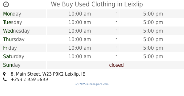
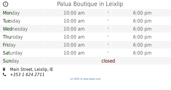
Clothing store


Dentist


Police
📑 Leixlip all categories
AccountingAirportAtmBakeryBankBarBeauty salonBook storeBus stationCafeCar dealerCar repairCemeteryChurchClothing storeConvenience storeDentistDoctorElectricianElectronics storeEstablishmentFinanceFire stationFloristFoodFuneral homeFurniture storeGas stationGeneral contractorGrocery or supermarketGymHair careHealthHome goods storeHospitalInsurance agencyJewelry storeLaundryLawyerLibraryLiquor storeLocal government officeLocalityLodgingMeal takeawayMuseumNatural featureNeighborhoodNight clubParkParkingPharmacyPhysiotherapistPoint of interestPolicePost officeReal estate agencyRestaurantRoofing contractorRouteSchoolShopping mallSpaStorageStoreSupermarketTrain stationTransit stationTravel agencyUniversityVeterinary careZoosublocality level 1