places in Listowel
Ireland
Listowel
Listowel
Administrative Region:
County Kerry
population:
4 794
calling code:
+353-68
postcode:
V31
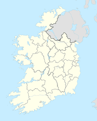
Location on the map of Ireland
Listowel
Neighborhood
Listowel
Ireland
Neighborhood
read more
Islandmacloughry
Ireland
Neighborhood
read more
Listowel
Irlanda
Neighborhood
read more
School
Coláiste na Ríochta
Upper Church Street, Listowel
School
read more
Dromclough National School
Listowel
School
read more
Listowel Presentation Primary School
Ballybunion Road, Listowel
School
read more
Presentation Secondary School
Greenville, Listowel
School
read more
Ballyduff National School.
Benmore Drive, Ballyduff
School
read more
Music Lessons
Listowel
School
read more
Little Einsteins Montessori Pre School
St Patrick's Hall, William Street Upper, Listowel
School
read more
Nano Nagle Special National School
Listowe primary school,, Ballybunion Road, Listowel
School
read more
Scoil Mhuire Gan Smal
Lixnaw
School
read more
Beginners World Listowel
Dromin, Listowel
School
read more
Natural Learning Montessori
Clounsillagh, Lixnaw
School
read more
Scoil Reata na Maidine
90 Upper Church Street, Listowel
School
read more
Natural Learning Montessori
Pre-school, Cloonsillagh, Lixnaw
School
read more
Killocrim National School
Unnamed Road, Gortnaminsha, Co.
School
read more
Tesco
R551, Lacka East
School
read more
Book store
Flavins Newsagent
30 Church Street, Listowel
Book store
read more
Woulfes Bookshop
7 Church Street, Listowel
Book store
read more
Eason
9-11 Church Street, Listowel
Book store
read more
Cemetery
Kiltomey Cemetery
Unnamed Road
Cemetery
read more
John Paul II Cemetry
Ballybunion Rd., Listowel
Cemetery
read more
Kilfeighney Cemetery
Irland
Cemetery
read more
Convenience store
Centra Listowel
Church Street, Listowel, Kerry
Convenience store
read more
Londis
Main Street, Ballyduff, Tralee
Convenience store
read more
📑
Listowel all categories
Accounting
Art gallery
Atm
Bakery
Bank
Bar
Beauty salon
Book store
Bus station
Cafe
Car dealer
Car repair
Car wash
Cemetery
Church
Clothing store
Convenience store
Doctor
Electrician
Electronics store
Finance
Florist
Food
Funeral home
Furniture store
Gas station
General contractor
Grocery or supermarket
Gym
Hair care
Hardware store
Health
Home goods store
Hospital
Insurance agency
Jewelry store
Laundry
Lawyer
Library
Local government office
Locality
Lodging
Meal delivery
Meal takeaway
Movie rental
Movie theater
Museum
Natural feature
Neighborhood
Park
Parking
Pharmacy
Physiotherapist
Place of worship
Point of interest
Premise
Real estate agency
Restaurant
Route
School
Shoe store
Shopping mall
Store
Supermarket
University
Veterinary care
sublocality level 1
↑