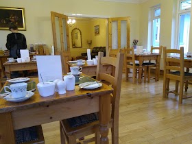
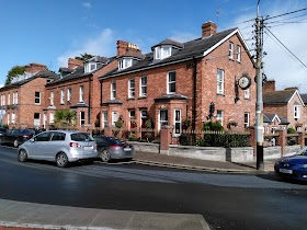
Lodging nearby Ardrose B&B
Ireland
Lodging nearby Ardrose B&B
Ardrose B&B
5 The Crescent, Dundalk Irlandia
contacts phone
:
+353
Latitude:
54.0000842
, Longitude:
-6.4084866
read more
nearest Lodging
152 m
Glen Gat Guesthouse
18-19 The Crescent, Dundalk
Lodging
read more
174 m
Glen Gat House
21 Stapleton Place, Dundalk
Lodging
read more
176 m
Lismar Guest House
9 Stapleton Place, Dundalk
Lodging
read more
192 m
Stapleton Place
5 Stapleton Place, Dundalk
Lodging
read more
290 m
Carnberg hotel and spa
Hill Street, Dundalk
Lodging
read more
451 m
Innisfree House
Carrickmacross Road, Dundalk
Lodging
read more
485 m
Readypenny Inn
Ardee Road, Dundalk
Lodging
read more
555 m
Imperial Hotel
Park Street, Dundalk, Co Louth, Dundalk
Lodging
read more
682 m
Bernies
12 Laurel Grove, Dundalk
Lodging
read more
725 m
The Clanbrassil Hotel
15 Clanbrassil Street, Dundalk
Lodging
read more
725 m
Clanbrassil Hotel
Clanbrassil Street, Dundalk
Lodging
read more
835 m
Private house
Little Ash, Avenue Road, Dundalk
Lodging
read more
881 m
Krakow B & B
190 Árd Easmuinn, Dundalk
Lodging
read more
1.498 km
Dundalk Primary Health Care Centre
Barrack Street, Dundalk
Lodging
read more
1.7 km
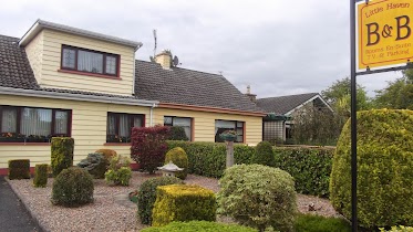
Little Haven Bed and Breakfast
Hoey's Lane, Dundalk
Lodging
read more
2.323 km
Rosemount B&B
Dublin Road, Dundalk
Lodging
read more
2.406 km
Green Park Student Accommodation
Marshes Upper, Dundalk
Lodging
read more
2.438 km
Bradstone House
Mill Road, Dundalk
Lodging
read more
2.438 km
Bradstone House
Mill Road, Castletown, Dundalk
Lodging
read more
2.452 km
Mullaharlin Lodge
Mullaharlin Road, Dundalk Road, Dundalk
Lodging
read more
2.549 km
Crowne Plaza Dundalk
Inner Relief Road, Dundalk
Lodging
read more
2.676 km
Olive's
Stonetown, Dundalk Road, Carrickmacross
Lodging
read more
2.712 km
140 on Ath Lethan
Block C 140 Ath Lethan Racecourse Rd, Dundalk
Lodging
read more
2.883 km
Fairlawns Bed & Breakfast
Dublin Road, Dundalk
Lodging
Point of interest
Establishment
read more
2.895 km
Fairlawns
Dublin Road, Dundalk
Lodging
read more
📑
all categories
Accounting
Administrative area level 1
Administrative area level 2
Airport
Amusement park
Aquarium
Art gallery
Atm
Bakery
Bank
Bar
Beauty salon
Bicycle store
Book store
Bowling alley
Bus station
Cafe
Campground
Car dealer
Car rental
Car repair
Car wash
Casino
Cemetery
Church
City hall
Clothing store
Colloquial area
Convenience store
Country
Courthouse
Dentist
Department store
Doctor
Electrician
Electronics store
Embassy
Establishment
Finance
Fire station
Florist
Food
Funeral home
Furniture store
Gas station
General contractor
Grocery or supermarket
Gym
Hair care
Hardware store
Health
Hindu Temple
Home goods store
Hospital
Insurance agency
Jewelry store
Laundry
Lawyer
Library
Light rail station
Liquor store
Local government office
Locality
Locksmith
Lodging
Meal delivery
Meal takeaway
Mosque
Movie rental
Movie theater
Moving company
Museum
Natural feature
Neighborhood
Night club
Painter
Park
Parking
Pet store
Pharmacy
Physiotherapist
Place of worship
Plumber
Point of interest
Police
Political
Post office
Premise
Real estate agency
Restaurant
Roofing contractor
Route
Rv park, camping
School
Shoe store
Shopping mall
Spa
Stadium
Storage
Store
Sublocality
Subpremise
Supermarket
Synagogue
Taxi stand
Train station
Transit station
Travel agency
University
Veterinary care
Zoo
sublocality level 1
↑