Lodging nearby Pax Guest House
Ireland
Lodging nearby Pax Guest House
Pax Guest House
Upper John St, Dingle Irlanda
contacts phone
:
+353
Latitude:
52.133868
, Longitude:
-10.2571079
read more
nearest Lodging
545 m
Greenmount Apartments
Upper John Street, Greenmount, Dingle
Lodging
read more
621 m
Greenmount House Dingle
Gortonora, Dingle
Lodging
read more
688 m
Fiona's Bed and Breakfast
101 John Street, Dingle
Lodging
read more
712 m
Ballintaggart House
Ballintaggart, Dingle
Lodging
read more
777 m
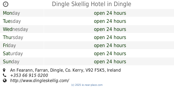
Dingle Skellig Hotel
An Fearann, Dingle
Lodging
read more
859 m
O'Neills Bed & Breakfast
John Street, Dingle
Lodging
read more
917 m
The Plough B&B
Dingle
Lodging
read more
917 m
An Ríasc Bed & Breakfast
Ballydavid, Dingle
Lodging
read more
917 m
Griffins Holiday Cottage
Dingle
Lodging
read more
973 m
Failte Esteach B&B
2-26 Mail Road, Dingle
Lodging
read more
1.003 km
Ballinvounig House
Ballinvounig, Dingle
Lodging
read more
1.007 km
Russell's B&B
The Mall, Dingle
Lodging
read more
1.024 km
An Dooneen
Kilcooley, Ballydavid, Dingle
Lodging
read more
1.024 km
Torann Na dTonn B&B
Ventry, Dingle
Lodging
read more
1.024 km
Ceann Tra Heights B&B
Ventry, Dingle
Lodging
read more
1.041 km
The Old Smokehouse
Main Street, Dingle
Lodging
read more
1.046 km
Dingle Atlantic Lodge B&B
The Mall
Lodging
read more
1.061 km
Ashe's B&B
Spa Road, Dingle
Lodging
read more
1.077 km
Grapevine Hostel
Dykegate Street, Dingle
Lodging
read more
1.131 km
Dingle Benners Hotel
Main Street, Dingle
Lodging
read more
1.19 km
Archway Lodge Bed & Breakfast
Main Street, Dingle
Lodging
read more
1.241 km
An Capall Dubh
Green Street, Dingle
Lodging
read more
1.243 km
Green Street Townhouse
Green Street, Dingle
Lodging
read more
1.248 km
The Dingle Pub B&B
Main Street, Dingle
Lodging
read more
1.337 km
Dingle Garden Townhouse
Main Street, Upper Grove
Lodging
read more
📑
all categories
Accounting
Administrative area level 1
Administrative area level 2
Airport
Amusement park
Aquarium
Art gallery
Atm
Bakery
Bank
Bar
Beauty salon
Bicycle store
Book store
Bowling alley
Bus station
Cafe
Campground
Car dealer
Car rental
Car repair
Car wash
Casino
Cemetery
Church
City hall
Clothing store
Colloquial area
Convenience store
Country
Courthouse
Dentist
Department store
Doctor
Electrician
Electronics store
Embassy
Establishment
Finance
Fire station
Florist
Food
Funeral home
Furniture store
Gas station
General contractor
Grocery or supermarket
Gym
Hair care
Hardware store
Health
Hindu Temple
Home goods store
Hospital
Insurance agency
Jewelry store
Laundry
Lawyer
Library
Light rail station
Liquor store
Local government office
Locality
Locksmith
Lodging
Meal delivery
Meal takeaway
Mosque
Movie rental
Movie theater
Moving company
Museum
Natural feature
Neighborhood
Night club
Painter
Park
Parking
Pet store
Pharmacy
Physiotherapist
Place of worship
Plumber
Point of interest
Police
Political
Post office
Premise
Real estate agency
Restaurant
Roofing contractor
Route
Rv park, camping
School
Shoe store
Shopping mall
Spa
Stadium
Storage
Store
Sublocality
Subpremise
Supermarket
Synagogue
Taxi stand
Train station
Transit station
Travel agency
University
Veterinary care
Zoo
sublocality level 1
↑