Lodging nearby Ruth's B&B
Ireland
Lodging nearby Ruth's B&B
Ruth's B&B
5 Butterfield Grove, Athboy Ireland
contacts phone
:
+353
Latitude:
53.6227566
, Longitude:
-6.9270247
read more
nearest Lodging
451 m
Darnley Lodge Hotel
Main Street, Athboy
Lodging
read more
456 m
The Darnley Lodge Hotel
Main Street, Athboy
Lodging
read more
456 m
The Darnley Lodge Hotel
7 The Courtyard, Athboy
Lodging
read more
495 m
The Lawrence
Main Street, Athboy
Lodging
read more
1.367 km
4 Bed Detached
4 Highfield, Athboy
Lodging
read more
1.461 km
Otterstown House
Otterstown, Athboy
Lodging
read more
4.258 km
Clonleason Gate Lodge
Fordstown, Navan
Lodging
read more
5.969 km
Hideaway at Foxhollow
Fordstown, Kells
Lodging
read more
9.688 km
Birchwood B&B
Balrath Rd, Barfordstown Balrath kells, Kells
Lodging
read more
9.691 km
Birchwood B&B
Birvhwood B&B, Barfordstown, Kells
Lodging
read more
10.067 km
C15v1w3
Winterwheat Lodge, Tullyard, Trim
Lodging
read more
10.317 km
Myhus
1-, 3 Mullingar Road
Lodging
read more
10.443 km
Barking Lodge
Kilballivor
Lodging
read more
10.906 km
Durhamstown Castle
Durhamstown Castle, Durhamstown, Bohermeen
Lodging
read more
11.323 km
Friary View Holiday Home
17 Kells Road, Trim
Lodging
read more
11.616 km
Bridge House Tourist Hostel
Bridge Street, Trim
Lodging
read more
11.618 km
Steeple View Accommodation
32 High Street, Townparks South, Trim
Lodging
read more
11.791 km
Trim Castle Hotel
Castle Street, Trim
Lodging
read more
11.98 km
Castleview House
Navan Rd, Trim
Lodging
read more
12.009 km
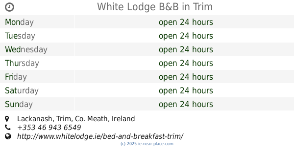
White Lodge B&B
Lackanash, Trim
Lodging
read more
12.108 km
Highfield House
Castle Street, Trim
Lodging
read more
12.124 km
Tigh cathain b&b
County
Lodging
read more
12.253 km
headford Park
11 Headfort Park, Kells
Lodging
read more
13.123 km
Knightsbrook Bed and Breakfast, Trim, Co. Meath
1 Victorine Abbey, Meath
Lodging
read more
15.596 km
Apt In Meath
Rathflesk
Lodging
read more
📑
all categories
Accounting
Administrative area level 1
Administrative area level 2
Airport
Amusement park
Aquarium
Art gallery
Atm
Bakery
Bank
Bar
Beauty salon
Bicycle store
Book store
Bowling alley
Bus station
Cafe
Campground
Car dealer
Car rental
Car repair
Car wash
Casino
Cemetery
Church
City hall
Clothing store
Colloquial area
Convenience store
Country
Courthouse
Dentist
Department store
Doctor
Electrician
Electronics store
Embassy
Establishment
Finance
Fire station
Florist
Food
Funeral home
Furniture store
Gas station
General contractor
Grocery or supermarket
Gym
Hair care
Hardware store
Health
Hindu Temple
Home goods store
Hospital
Insurance agency
Jewelry store
Laundry
Lawyer
Library
Light rail station
Liquor store
Local government office
Locality
Locksmith
Lodging
Meal delivery
Meal takeaway
Mosque
Movie rental
Movie theater
Moving company
Museum
Natural feature
Neighborhood
Night club
Painter
Park
Parking
Pet store
Pharmacy
Physiotherapist
Place of worship
Plumber
Point of interest
Police
Political
Post office
Premise
Real estate agency
Restaurant
Roofing contractor
Route
Rv park, camping
School
Shoe store
Shopping mall
Spa
Stadium
Storage
Store
Sublocality
Subpremise
Supermarket
Synagogue
Taxi stand
Train station
Transit station
Travel agency
University
Veterinary care
Zoo
sublocality level 1
↑